
Discovering Royston’s Development
Royston’s origins are lost in the mists of time. It is not known exactly when the town was established, although it seems likely that it started as a small settlement at the crossing of two major transportation routes. The Roman road Ermin Street, running from London to the north, crossed the ancient Icknield Way, a trackway which runs from Norfolk to Dorset.
It has been assumed that the town’s earliest extant buildings would, therefore, be at this meeting point. However, this has never been proven and may not be the case.
Choosing the buildings
The Royston Heritage Group is gathering evidence from buildings in the town to build a picture of the way it developed. We have identified 26 of the 161 listed building in the town which are likely to provide the data needed to build this picture. This list was then reduced to 16 which our experts selected as the buildings most likely to provide the best evidence.
In order to gather this evidence, we needed access to buildings' interiors. It was important that we only surveyed the properties once we had the owners’ and occupiers’ permission to do so.
Gathering the evidence
The Group’s approach was to research the available evidence including -
-
Scientific evidence
-
Extant documentary evidence
-
Observable architectural archaeological evidence
The scientific evidence from dating the timbers used in construction
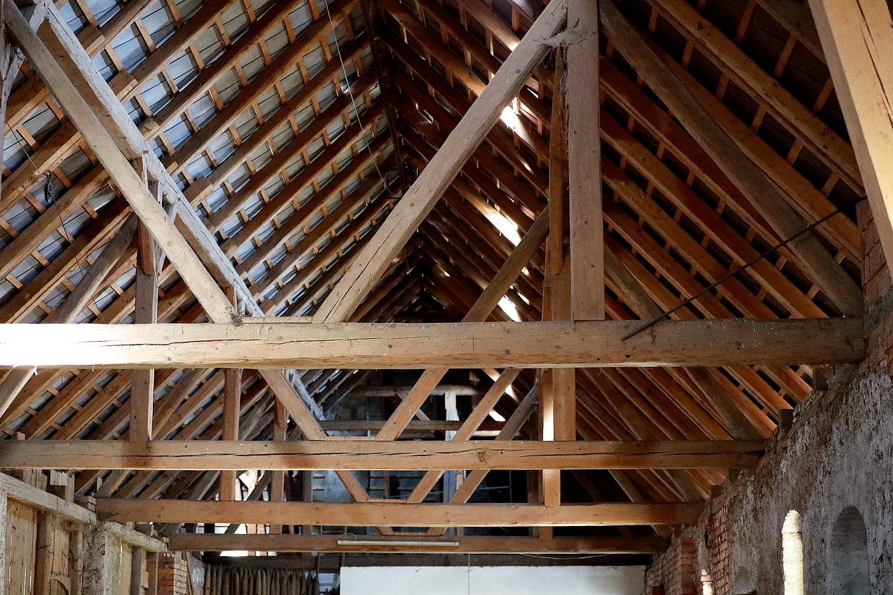
Image : FranzW (pixabay) illustrating a method of timber roof constuction.
The initial process involved the recovery of tree ring evidence from the properties. We engaged Paul Kusic, a professional dendrochronologost with the University of Cambridge, to extract the cores, analyse them and produce reports detailing the results for each property.
Where the tree ring evidence is inconclusive we have partnerships with Bristol University to carry out Accelerator Mass Spectrometry (AMS) Carbon-14 dating on samples submitted to them.
The information from both scientific methods is now availble to the project and will eventually be corelated with archtectural surveys currently under way. It should be stressed that some of the the results obtained from these methods were inconclusive.
The extant documentary evidence
To gather as much documentary evidence as possible and in addition to the Historic England entry details, Dr. Andrew Barclay has assembled information (pro bono) from amongst these other sources -
-
Archival records, including legal deeds, wills, manorial court records, royal building accounts etc.
-
Old maps
-
Early photographs (Royston Museum, Hertfordshire Archives and Local Studies, Historic England)
-
1610 Royston survey
-
1649-52 Commonwealth Parliamentary surveys
-
1725 Therfield survey and map
-
Secondary works, including Kingston’s History of Royston, the Buildings of England (‘Pevsner’) and The History of the King’s Works
The Royston Surveys
Dr. Barclay’s excellent scholarly work on the surveys will shortly be published by the Hertfordshire Records Society. An introduction to the surveys can be found on this page of our website -
The observable architectural archeological evidence
The Group has been fortunate to benefit from the expertise of Dr. Lee Prosser, Historic Buildings Curator with Historic Royal Palaces at the Tower of London.
All historic buildings can benefit from forensic examination, looking at the materials and means of construction. This has the potential to help us to date a building, to establish how it was used originally, and what it may have looked like before later layers and alterations. Already by looking at a handful of buildings, we have been able to say how much more of Royston's medieval heritage survives, often hiding in plain sight.
Dr Prosser has produced a number of draft reports on some of the properties and is hoping to complete further studies for the Group once access to others has been arranged.
The properties selected
There were 26 properties surveyed on the “long list”. Ultimately sixteen were selected by the project’s historians and the dendrochronology team. 108 cores were obtained to help provide dating evidence telling the story of the town’s evolution.
Some of the cores were also sent for radio carbon-14 dating wth the results compared to those obtained from the tree ring analysis.
Architecural surveys have been conducted on the exterior and interior of many of the selected properties, where permission has been granted to access them.
Property list
Ref
Listing (Number)
Address / Identity
Cores Taken
AMS C-14 Cores
Architectural Survey
1
2 (1102030)
55 Upper King Street (1 Mulberry Court, private residence)
5
2
Visited
2
2 (1102034)
77 Upper King Street (Private residence)
8
2
No access
3
2 (1102037)
7 Kneesworth Street (Mugal Kitchen)
9
2
Draft report
4
2* (1102038)
9 Kneesworth Street (Armadillo Ink)
10
2
Draft report
5
2* (1102039)
17 - 21 Kneesworth Street (Fish’n’Chicken)
6
-
Draft report
6
2 (1102041)
18 & 20 Kneesworth Street (Conservative Club)
6
1
Draft report
7
2 (1102053)
19 Baldock Street (‘Talwins’, private residence)
7
2
Draft report
8
2 (1102063)
20 High Street (1st Floor Flat, private residence)
3
1
Not visited
9
2 (1102064)
22 & 24 High Street (Ex Wisdom Carpets)
12
-
No access
10
2* (1102071)
63 & 65 High Street (Single property, private residence)
6
2
Visited
11
1 (1295658
23 Kneesworth Street (King James Palace, private residence)
6
2
No access
12
2 (1295667)
28 & 30 Kneesworth Street (King James Barn, 10 Stamford Yard, private residence)
5
2
Visited
13
2 (1347646)
13 Lower King Street (‘Pattens’, private residence)
9
-
Draft report
14
2 (1347653)
58 High Street (The Chequers Inn)
7
1
Draft report
15
2 (1347655)
33 - 39 High Street (Flat 2, 33 Upper King Street, above Howes Opticians, private residence)
6
2
Visited
16
2* (1347678)
11 Kneesworth Street (Between Buns)
7
2
Draft report
SupA
2 (1174630)
13a Kneesworth Street
-
-
Draft report
SupB
1 (1174750)
‘Thurnals”, Melbourn Street
-
-
Not visited
Map of the Royston properties selected
Supported by the Brian Leslie Racher 2004 Charitable Trust
The Royston Heritage Group is extremely grateful to the Trust for the support it has provided, without which much of the work carried out to date could not have been accomplished.
Copyright
This website and its content © Royston Heritage Group (except where it is expressly indicated that it it held elsewhere).
Website design
Michael Wright - Frierley.com
